Klara Neumann · 8 September 2026
Parallels Between River Valley Formations and Hierarchical Data Structures in Information Systems
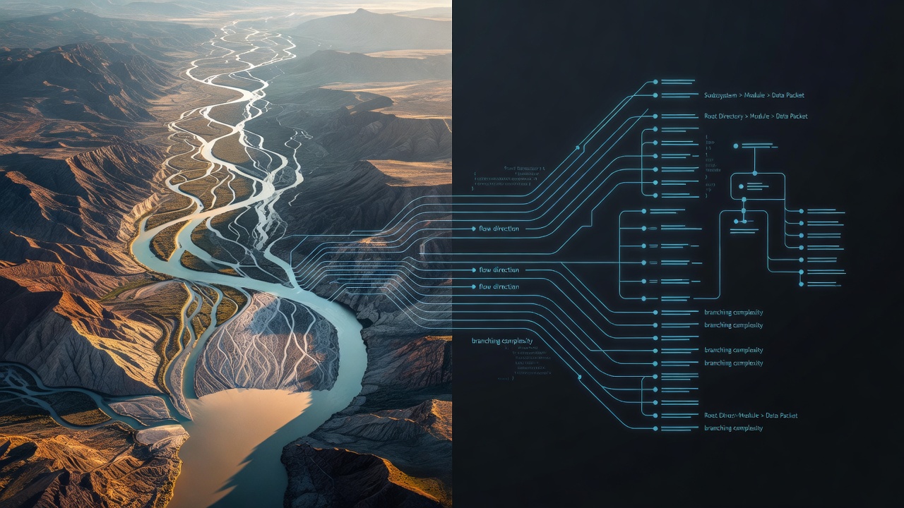
River valley formations develop through prolonged erosion where water carves channels into landscapes and creates branching networks that collect and direct flow from higher elevations down to larger bodies of water while hierarchical data structures organize information through parent-child relationships that start at a single root node and expand through successive levels of connected elements. Researchers have mapped these patterns in geological surveys and computer science models because both systems rely on efficient distribution across multiple scales and maintain structural integrity even as complexity increases.
Formation Processes in River Valleys
Geologists document how precipitation collects into streams that merge into rivers and eventually shape valleys through consistent water movement and sediment transport; the main channel functions as the primary pathway while smaller tributaries feed into it from surrounding areas and establish a tree-like arrangement that maximizes drainage coverage. Data from the United States Geological Survey shows these dendritic patterns appear across many climates because gravity and topography guide the branching without requiring centralized planning. Observers note that the process repeats at different sizes where a large river basin contains sub-basins that mirror the overall layout and allow water to reach outlets efficiently.
Structure of Hierarchical Data Systems
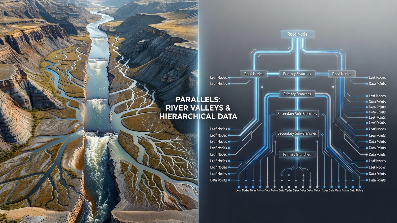
Information systems employ tree-based architectures where a root element connects downward to child nodes that each manage subsets of data and terminate at leaf nodes holding final values; database designers and algorithm developers use these arrangements because they support quick searches, insertions, and deletions through logarithmic time complexity in balanced implementations. Computer science literature describes how file systems, organizational charts, and network routing tables all adopt similar hierarchies so that commands or queries propagate from the top level while results return upward along the same paths. Those who study these structures find that the organization prevents redundancy and enables modular updates without disrupting the entire network.
Shared Branching and Scaling Characteristics
Both river networks and data hierarchies exhibit self-similar branching where each segment divides into smaller ones according to consistent ratios that researchers quantify through fractal geometry and graph theory; this scaling allows the system to cover large areas or datasets without exponential growth in resources. In September 2026 new hydrological models presented at international geoscience meetings demonstrated how algorithms originally developed for traversing binary trees can predict flood spread in valley systems with measurable accuracy. Experts apply the same mathematical frameworks because the underlying topology remains comparable even though one system moves physical matter and the other transmits digital signals.
Flow Dynamics and Information Propagation
Water travels from upstream sources through successive branches toward a mouth or delta while data packets move from root nodes through intermediate layers to terminal records or outputs; the directionality creates predictable paths that engineers exploit when designing load-balancing mechanisms or when hydrologists forecast sediment deposition. Studies indicate that disruptions at higher levels in either system affect larger portions downstream or deeper in the hierarchy yet localized changes at the periphery produce limited ripple effects. This property supports resilience planning in both fields where managers prioritize monitoring of central channels or root nodes to maintain overall stability.
Applications in Modeling and Analysis
Scientists combine satellite imagery of river basins with graph analysis tools to simulate how alterations in one tributary influence the entire watershed and software engineers run equivalent simulations on data trees to test system performance under varying loads. Reports from the Commonwealth Scientific and Industrial Research Organisation in Australia have explored these cross-domain techniques for environmental monitoring platforms that integrate real-time sensor data into hierarchical databases. Such integrations allow teams to query broad patterns or drill down to specific sub-regions without rebuilding the entire model each time conditions change.
Conclusion
The structural similarities between river valley formations and hierarchical data structures arise from shared principles of branching efficiency and directional flow that operate across physical and digital domains. Continued mapping of these patterns provides tools for improved resource management in watersheds and optimized query performance in information systems while researchers refine the common mathematical descriptions that describe both.