Katja Werner · 22 September 2026
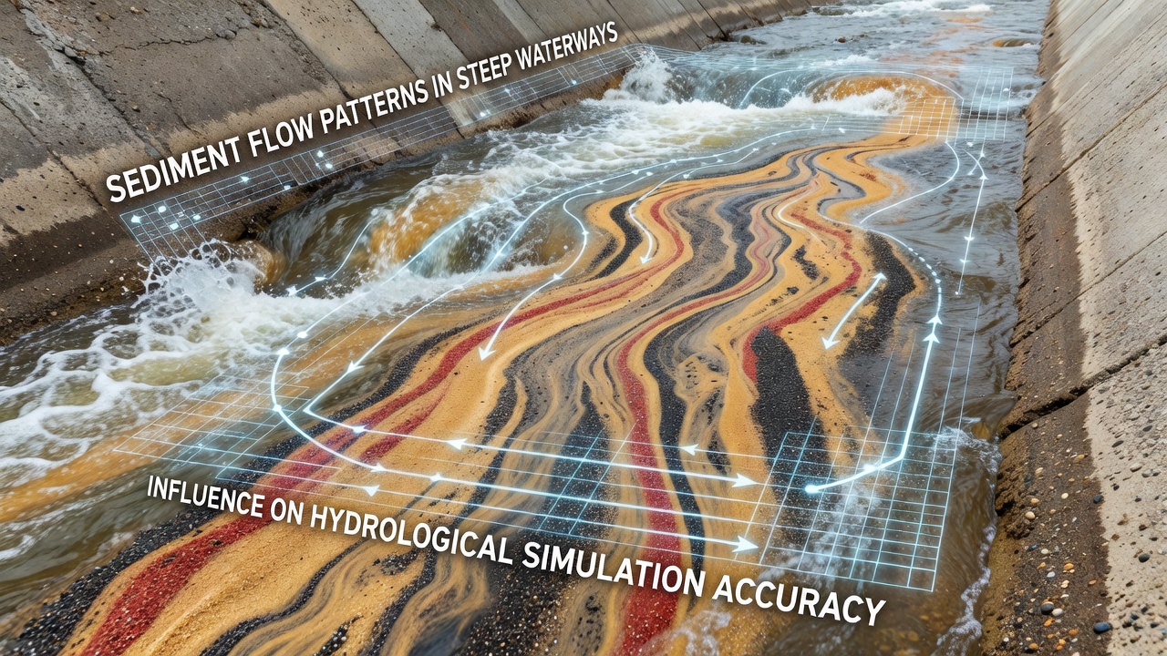
Sediment Flow Patterns in Steep Waterways and Their Influence on Hydrological Simulation Accuracy
Steep waterways create distinctive conditions where gravity accelerates water flow and intensifies interactions between the channel bed and transported material, which produces complex sediment movement that differs markedly from lowland rivers. Researchers have documented how these gradients drive higher shear stresses that mobilize coarse particles and generate frequent bedload pulses rather than steady transport. Data collected from mountain catchments show that flow velocity often exceeds critical thresholds for gravel and cobble entrainment within seconds of runoff onset, which leads to rapid changes in channel morphology during individual storm events.
Mechanisms Driving Sediment Movement on Steep Slopes
Steep channels combine high stream power with limited storage capacity, so sediment travels through reaches quickly and experiences frequent collisions with bedrock or large boulders. Observers note that rolling and saltating particles dominate in these environments while suspended load remains secondary except during peak discharges. Studies conducted in the western United States and the European Alps indicate that particle size distribution shifts downstream as abrasion and sorting reduce median grain diameters over distances of a few hundred meters. These physical processes create feedback loops where deposited material alters local hydraulics and influences subsequent entrainment rates.
Seasonal variations further complicate patterns because snowmelt produces sustained moderate flows whereas convective storms generate short intense pulses. Field measurements from British Columbia and New Zealand catchments reveal that the latter events can move several times more sediment in hours than occurs over entire months of baseflow conditions. Such contrasts challenge assumptions built into many transport equations originally calibrated on milder gradients.
Representation of These Processes in Hydrological Models
Hydrological simulations rely on equations that estimate sediment flux from flow parameters yet often simplify turbulence and bed roughness in steep terrain. Models such as those used by the United States Geological Survey incorporate adjustments for slope and grain size, but they still require site-specific calibration to match observed transport rates. Research indicates that standard bedload formulas overestimate or underestimate volumes when applied without local data because they neglect the role of step-pool sequences and large woody debris that dissipate energy and trap material.
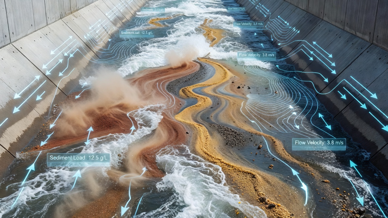
Accuracy suffers when grid resolution fails to capture abrupt changes in channel width or when time steps overlook rapid hydrograph rises typical of small steep basins. Analysts have found that increasing spatial detail improves predictions of deposition zones yet raises computational demands, which limits application at catchment scales. Comparisons between one-dimensional and two-dimensional approaches show the latter better resolve lateral sediment redistribution but still require empirical coefficients derived from direct sampling.
Impacts on Simulation Reliability and Data Requirements
Errors in sediment representation propagate into flood hazard maps and reservoir sedimentation forecasts because deposition alters conveyance and storage. Evidence from Australian gauging stations demonstrates that unaccounted bedload pulses can change stage-discharge relationships within a single season, which reduces the reliability of rating curves used for discharge estimation. Agencies therefore combine acoustic sensors, sediment traps, and repeat topographic surveys to constrain model parameters and quantify uncertainty ranges.
Integration with climate projections adds another layer because altered precipitation intensity modifies both flow frequency and sediment supply from hillslopes. Reports from the Geological Survey of Canada highlight how wildfire-affected catchments experience elevated yields for several years afterward, which requires models to include dynamic source terms rather than fixed sediment budgets. Without such updates, long-term simulations diverge from measured accumulation rates in downstream reservoirs.
Conclusion
Accurate representation of sediment flow in steep waterways depends on combining high-resolution field observations with equations that reflect local hydraulics and sediment characteristics. Continued refinement of measurement techniques and model structures allows simulations to better capture the episodic nature of transport and its effects on channel evolution. As monitoring networks expand and computational resources improve, predictions of water and sediment movement gain precision that supports infrastructure planning and ecosystem management across diverse mountain regions.