Olivia Zimmermann · 6 October 2026
Tracing Rapid Descent Dynamics in Mountainous Water Systems for Refining Emergency Evacuation Protocols in High-Risk Zones
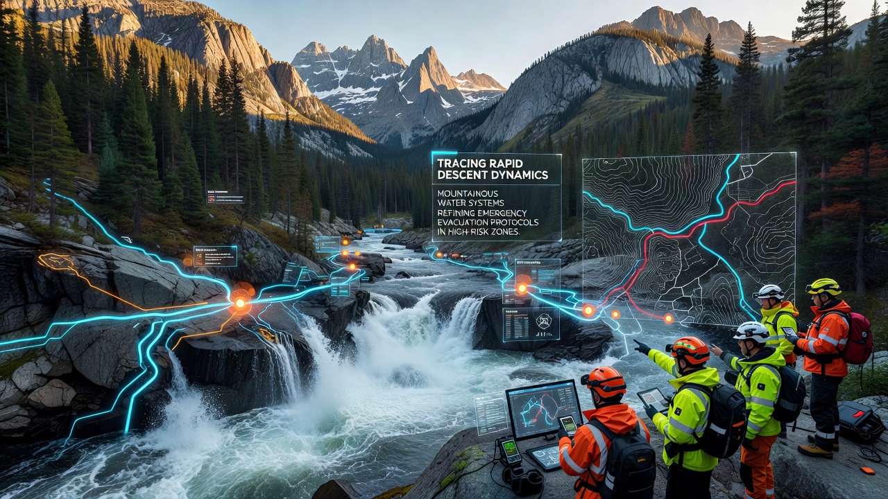
Tracing rapid descent dynamics in mountainous water systems involves detailed analysis of how water and sediment move quickly down steep gradients, and this data directly informs updates to emergency evacuation protocols in high-risk zones around the world. Researchers deploy sensors and remote monitoring tools to capture flow velocities, channel morphology changes, and debris entrainment rates during intense precipitation events, while models simulate potential inundation paths and arrival times at populated areas. These efforts connect physical observations from field stations with computational frameworks that predict hazard evolution over minutes to hours.
Core Mechanisms of Rapid Descent
Steep slopes in mountain catchments accelerate water movement because gravitational forces dominate over frictional resistance along narrow channels, and this process intensifies when rainfall exceeds soil infiltration capacity within short time windows. Observers note that sediment entrainment begins at thresholds determined by local geology and vegetation cover, after which particle collisions increase turbulence and further amplify downstream transport rates. Data from instrumented watersheds shows that peak discharges can rise by orders of magnitude within thirty minutes under convective storm conditions, while antecedent moisture levels determine whether initial runoff remains confined or spreads across floodplains.
Monitoring networks operated by agencies such as the United States Geological Survey record these transitions using pressure transducers and acoustic Doppler devices that log stage heights and velocity profiles at sub-minute intervals. When integrated with high-resolution topographic surveys from airborne LiDAR, the resulting datasets reveal how channel constrictions and bends create hydraulic jumps that alter sediment deposition patterns and create temporary dams prone to sudden breaching.
Integration with Evacuation Planning
Emergency management teams incorporate descent dynamics outputs into decision-support systems that calculate travel times for warning dissemination and route clearance, and these calculations account for both primary flood fronts and secondary debris flows that often follow initial surges. In regions where settlements occupy valley floors below steep tributaries, protocol refinements focus on pre-positioning resources at elevation thresholds derived from ensemble model runs rather than single deterministic forecasts. Australian Bureau of Meteorology studies of alpine catchments demonstrate that coupling real-time radar rainfall estimates with distributed hydrological models improves lead-time accuracy for flash flood warnings by up to forty percent compared with rainfall-only thresholds.
Regional Applications and Data Collection
Across the European Alps, coordinated programs collect discharge measurements during late-summer convective events to calibrate models used by civil protection agencies, while Canadian provincial authorities apply similar instrumentation networks in the Coast Mountains to refine alert thresholds for communities downstream of glacier-fed streams. What's interesting is how October 2026 marks the scheduled expansion of multi-sensor arrays in several test basins, adding ground-penetrating radar units that detect subsurface saturation ahead of surface runoff initiation. These additions allow forecasters to distinguish between events that remain channel-confined and those that generate overbank flooding capable of isolating access roads.
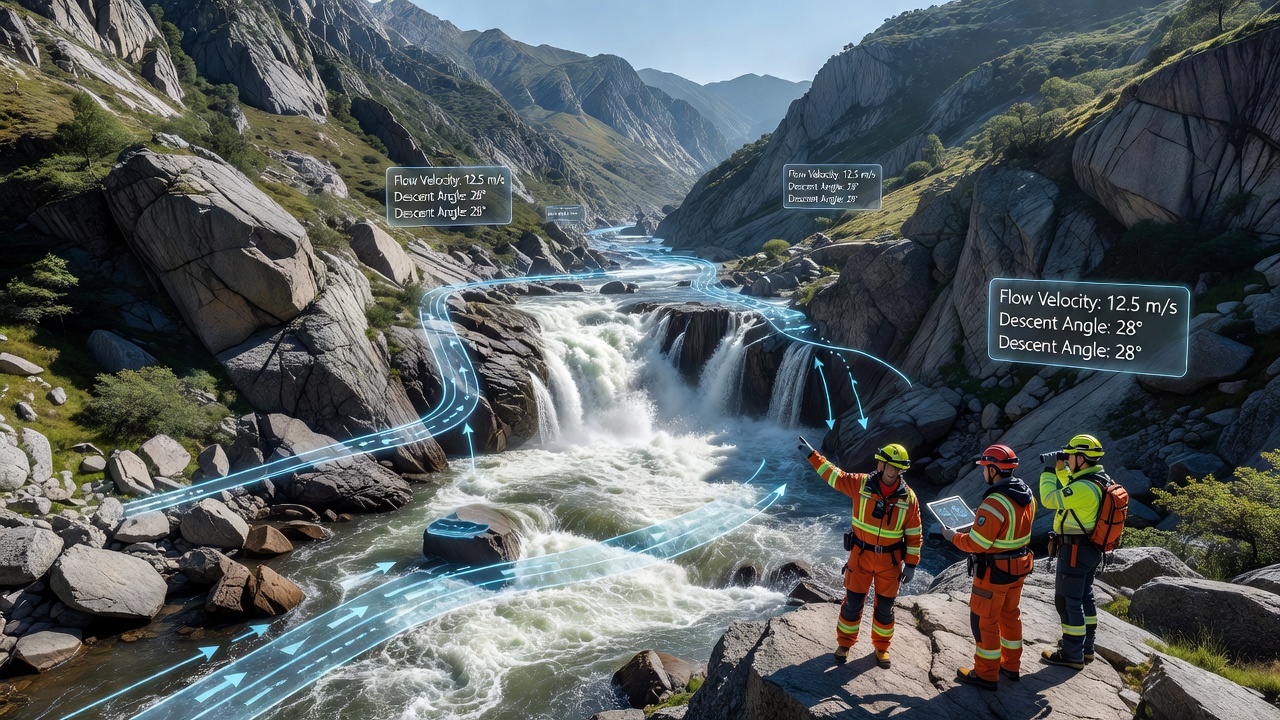
One study revealed that incorporating measured entrainment coefficients into two-dimensional hydrodynamic models reduced over-prediction of flooded areas by twenty-five percent in steep headwater basins, and this improvement translated directly into narrower evacuation zones that still maintained safety margins. People who've analyzed post-event surveys after documented flash floods often discover that actual inundation boundaries align more closely with these refined simulations than with earlier empirical rules based solely on drainage area. Government agencies therefore update protocol maps on an annual cycle using the latest calibration datasets, ensuring that trigger levels for mandatory evacuations reflect current understanding of descent velocities and sediment bulking factors.
Challenges in Model Validation
Validation remains difficult because extreme events occur infrequently, yet each documented case supplies critical constraints on parameter ranges for sediment transport equations and roughness values that vary with flow depth. Researchers at institutions including ETH Zurich maintain long-term observatories where repeated surveys document channel evolution between events, allowing recalibration of friction factors that control wave celerity in routing routines. But here's the thing: without sufficient extreme-event data points, uncertainty bands around arrival-time estimates stay wide, and this forces evacuation planners to adopt conservative buffers that sometimes encompass areas outside actual hazard footprints.
Remote sensing from satellites and drones supplements ground measurements by mapping changes in channel width and vegetation after each significant flow, and these observations feed back into roughness parameterization schemes used in operational forecasts. Figures reveal that combining satellite-derived inundation extents with in-situ stage records improves model skill scores, particularly for events that produce multiple pulses of high-magnitude discharge separated by brief recessions. Such multi-pulse behavior complicates evacuation timing because secondary waves can arrive after initial alerts have already prompted movement of residents.
Protocol Refinement Outcomes
Refined protocols now specify phased evacuation triggers that activate based on combined rainfall intensity-duration thresholds and modeled descent times rather than fixed water-level gauges alone, and this layered approach reduces unnecessary full-scale mobilizations while preserving rapid response capacity. In practice, decision trees route alerts through centralized command centers that receive automated model outputs every fifteen minutes during elevated risk periods, allowing incident commanders to adjust zone boundaries in real time as new sensor data arrives. The reality is that successful implementation depends on reliable communication networks capable of reaching remote valley communities before primary flow fronts reach critical infrastructure crossings.
Conclusion
Continued investment in sensor networks and model development supports incremental improvements in both descent dynamics representation and resulting evacuation guidance, and cross-regional data sharing accelerates calibration for catchments with similar physiographic characteristics. As October 2026 approaches, expanded monitoring deployments will supply additional validation cases that further tighten uncertainty ranges around predicted arrival times. These advances ultimately strengthen the linkage between physical process understanding and operational decisions that protect lives in high-risk mountain zones.